


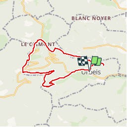

7,8 km | 12,6 km-effort

Utilisateur


Application GPS de randonnée GRATUITE
 SityTrail
IGN / Instituts géographiques
SityTrail World
Le monde est à vous
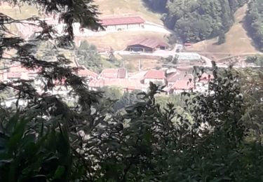
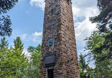
Randonnée Marche de 14,5 km à découvrir à Grand Est, Bas-Rhin, Urbeis. Cette randonnée est proposée par VacheKiri67.
Balisage : chevalet vert - chevalet jaune - anneau jaune - triangle vert.
Faite le 02/09/2012 en 4h25 (dont 0h35 de pauses) avec notre fils de 8 ans.
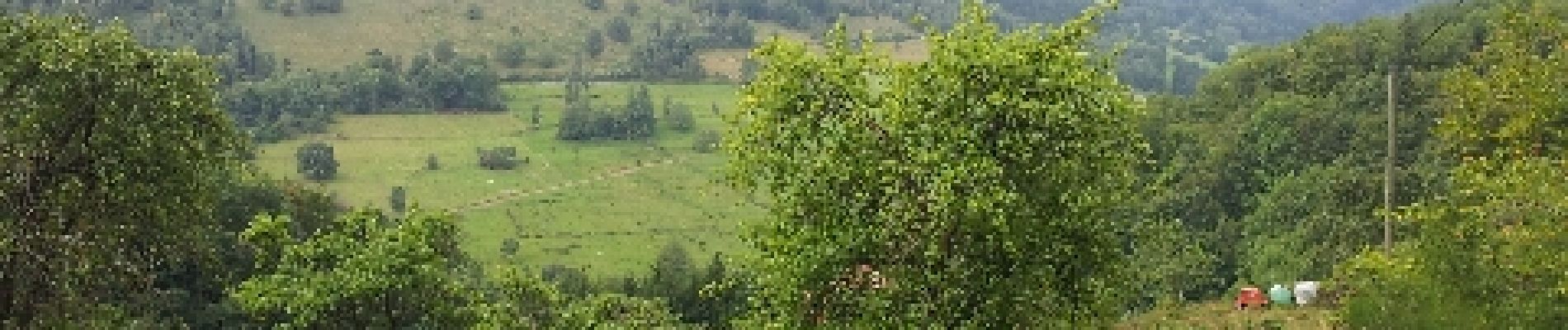
Rude montée dès le départ les 600 premiers mètres. L'aller-retour à la mine Théophile n'apporte rien.
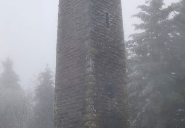
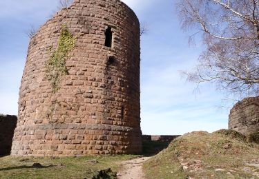
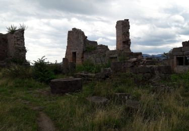
Plus de détails : Passion Vosges - Alsace centrale N°18 Page 78 "Le château du Bilstein".


Marche

Marche
Marche

Marche
Marche
Marche
Marche
Marche